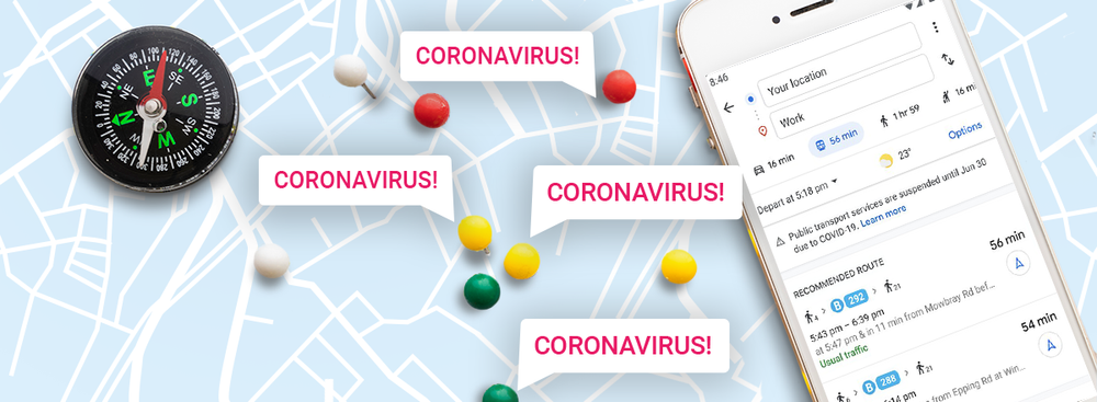
Google has launched two new features for the Google Maps service to help users make safer use of vehicles during the COVID-19 pandemic. Now, the navigation service will warn you about all the restrictions associated with the coronavirus and inform about the current public transport load.
For example, if the user will need a face mask, documents, a special pass through the COVID-19 checkpoint, or if there are any requirements related to coronavirus in the place where he/she plans to go, the user will see the corresponding notification in the app.
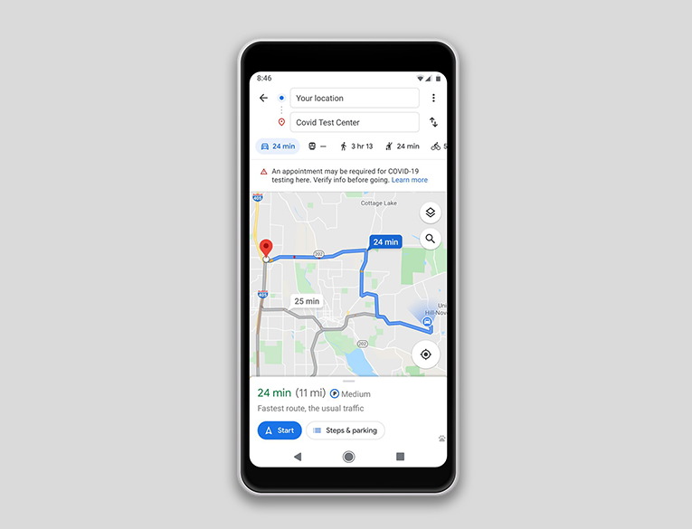
If the user is going to visit a medical institution or the COVID-19 testing center, Google Maps will remind him/her of the relevant requirements.
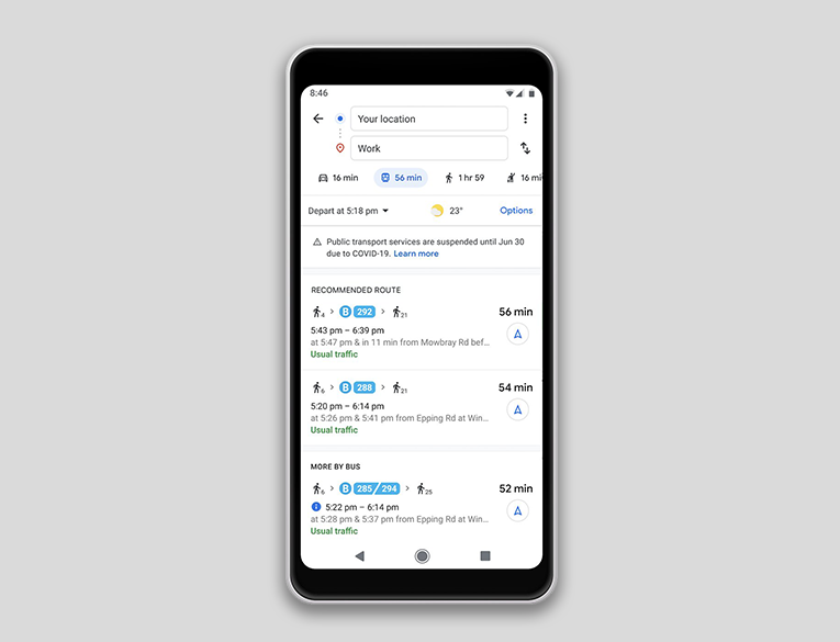
Finally, Google has simplified the feature introduced last year, which predicts how crowded public transport will be during the trip. The feature works based on the analysis of anonymized user data. You can find the forecast by clicking on the Transit Details button and scrolling through the data below. You can track what time the public transport stations are busiest at to avoid such periods during trip planning.
Innovations are already available to users of Google Maps on Android and iOS platforms in certain countries. Gradually, the company will add support for new territories.